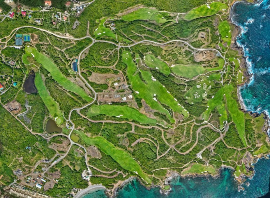
Cabot Saint Lucia
Every survey discipline across the site, continuously since 2021, including masterplan management.

Survey and geospatial services across the Caribbean — boundary, topographic, UAV and as-built survey, from national infrastructure to live construction sites.
See our workThe practice
Acuity Geo is a survey and geospatial practice registered in Saint Lucia in 2016, working across the Eastern Caribbean on national infrastructure, resort and residential development, commercial construction and drainage.
Our core is terrain modelling: building ground that engineers, architects and contractors can design and build against. Around that we run the full survey stack, from cadastral boundary work to UAV mapping and as-built verification. Every deliverable carries its control and its accuracy.
Capabilities
Digital terrain models, contour mapping and detail survey built to stated survey control and accuracy, for design and quantity work.
Aerial (drone) surveys, photogrammetry, orthomosaics and DSM modelling, flown under permission obtained from the relevant national civil aviation authority.
Setting out and as-built verification on live sites, to structural tolerance, on the contractor's programme.
Residential and commercial boundary survey, and subdivision design.
As-built capture and spatial data for utility networks, roads, drainage and site infrastructure.
Databases, masterplan maintenance and the data management that keeps a long-running site consistent from one year to the next.
Core values
Emerging technology is used to make surveying more efficient, not to replace the discipline underneath it. GNSS and photogrammetry are embedded in most of our projects, alongside point clouds and 3D modelling.
Over twenty years of practice, and active involvement in UN-GGIM, COCONET, URISA and the Flying Labs network, give an indication of our commitment to connecting geospatial practice across the Caribbean. We value regional collaboration and share this with our clients.
Survey-grade GNSS, UAV photogrammetry and 3D deliverables are ordinary practice in other markets while still less utilized across much of the Caribbean. We ask about the decision the survey has to support, then work with the client to choose the method and the output that answer it, rather than fitting every project to one standard product.
Building next
Areas we are actively building into the practice: bathymetric survey, LiDAR and SLAM capture, utility and infrastructure asset management, and UAV structural and roof inspection.
If you work in any of these — as a client, a supplier or a collaborator — we would like to talk.
Selected work
Every survey discipline across the site, continuously since 2021, including masterplan management.
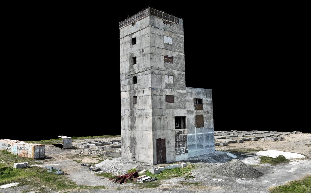
Topographic survey of the runway approach and periphery, and survey support to the air traffic control tower rehabilitation.
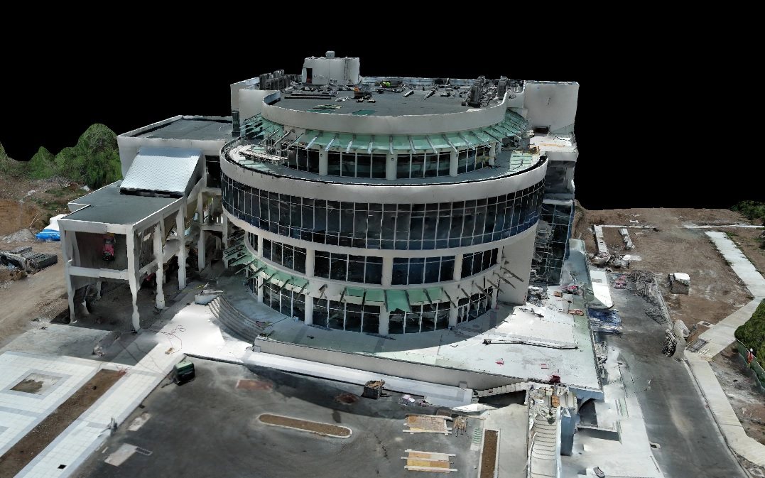
As-built survey and construction layout for a five-storey commercial centre on a live site.
Tell us about the project and the question you need answered, and we will share with you how we would approach it.
Contact us